Log in
Register
Crisis information sources
CIK Activities
Operational products
Publications
New technologies
Menu
News
Operational products
Activities
Projects
Current projects
Finished projects
New technologies
Publications
About Us
News
Filtruj po:
Data od
Data do
Sortuj
Rosnąco
Malejąco
Tagi
21
December 2017
Merry Christmas
CIK, Space Research Centre of Polish Academy of Sciences wishes you all - Merry Christmas, peaceful time with your relatives and fulfillment of your most secret dreams in the upcoming New Year!
04
December 2017
Geoinformation Guide: Sentinel Playground - update
In today's article from the series "Geoinformation Guide" you will get to know the functionality of the web application Sentinel Playground, which enables to visualize imagery coming from the Sentinel-2 satellite.
30
October 2017
DRIVER + First Preparatory meeting to Trial 1
On October 25 and 26, 2017 in the building of the Main School of the Fire Service, the first Face to Face meeting to Trial 1 owned by SGSP was held.
08
October 2017
DRIVER +, reactivated DRIVER project
The first meeting of the DRIVER + project partners took place on 25-27 September in Rotterdam, the Netherlands.
05
October 2017
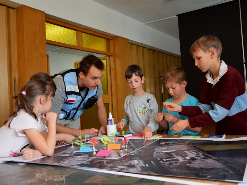
„Vistula river in Crisis Management: flood evacuation” – theme lecture, workshop for the youngest and decision-making game at the premises of Crisis Information Centre SRC PAS.
On Sunday, 01.10.2017, the Space Research Center of the Polish Academy of Sciences once again opened its doors to the participants of the Festival of Science. This year's topic of the Festival was: Vistula river. Despite age differences, every participant could find something interesting from the agenda.
06
June 2017
Science Picnic 2017
The Space Research Centre of Polish Academy of Science took part in the Science Picnic of organized by Polish Radio and the Copernicus Science Centre.
25
May 2017
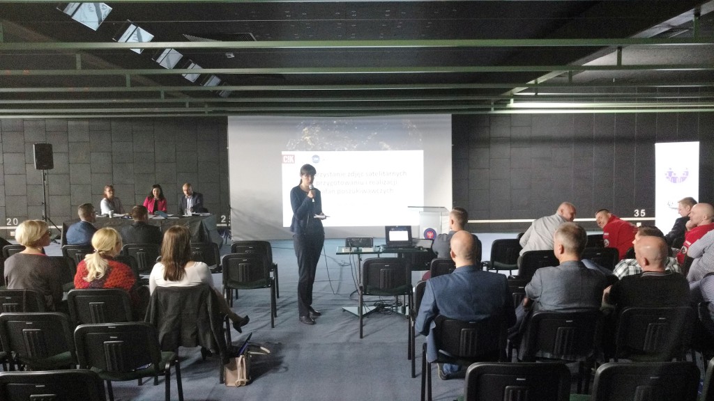
XXII Polish Rescue Forum INOWROCŁAW 2017
On 23 May 2017 CIK team participated in the XXII National Rescue Forum titled: "Command Support Systems, robotics, simulation didactics and logistics in rescue and security actions." The organizers were: Mayor of Inowrocław, Multispecialistic Hospital of dr. Ludwik Blażek, Regional Headquarters of Rescue Operations, Voievodship units of: Police in Bydgoszcz and State Fire Service in Toruń, District Commands of: Police and State Fire Service in Inowrocław in cooperation with organizational units of: Nicolaus Copernicus University in Torun, Jarosław Dąbrowski Military Academy of Technology in Warsaw, Adam Mickiewicz University in Poznan, University of Wroclaw, Witelon State Higher Vocational School in Legnica, Medical University in Lublin and the Polish Rescue Society.
24
May 2017
Conference on "Collaboration and exchange of information on missing persons - new technologies"
On May 23, 2017 CIK specialists participated in the 1st Conference on "Cooperation and exchange of information on missing persons - new technologies". The organizer of the conference was the Center for Searching of Missing Persons of the Police Headquarter in cooperation with the Association of Security Experts of the Republic of Poland. The host of the event was the Military Institute of Armament Technology.
15
May 2017
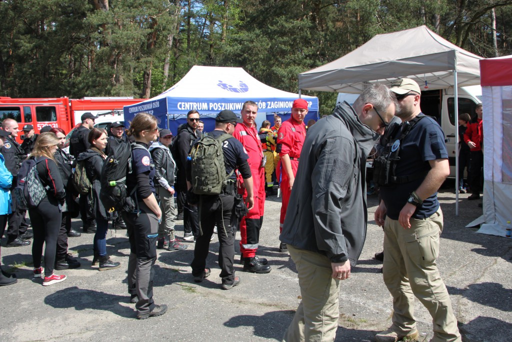
“KAMPINOS 2017” maneuvers
On May 13, 2017 CIK team participated in the 4th National Search and Rescue Maneuvers "KAMPINOS 2017" organized on the occasion of the International Missing Children's Day. The maneuvers were organized by the Center for Searching of Missing Persons of the Police Headquarter in cooperation with the Institute of Political Science of the University of Warsaw, the Rescue Team of the Polish Red Cross (PCK) from Warsaw, the Specialized Rescue Unit s12 and the Jabłonna Voluntary Fire Service Search and Rescue Section.
12
May 2017
Conference "Crisis Management in the Perspective of Terrorist Threats" on the War Studies University
On 10 May 2017, the CIK representative participated in the 6th edition of the National Scientific Conference "Crisis Management in the National Security System", which main theme was "Crisis Management in the Perspective of Terrorist Threats". The organizer of the conference was the Faculty of National Security of the War Studies University with co-organizers – the Government Centre for Security, the Main School of Fire Service, the Police Academy in Szczytno and the Science and Research Centre for Fire Protection.
10
May 2017
Meeting with a scientist at the Copernicus Science Centre. Straight from the sky: Satellite images of the Earth.
We are delighted to invite you to the lecture of Associate professor of SRC PAS – Stanislaw Lewinski, who manages the Earth Observation Group at the Space Research Center of the Polish Academy of Sciences.
09
May 2017
Map of risks 2017 Aon plc
Aon plc, global consulting company, together with Roubini Global Economics and The Risk Advisory Group prepared the Map of Terrorism and Political Risks for 2017.
03
April 2017
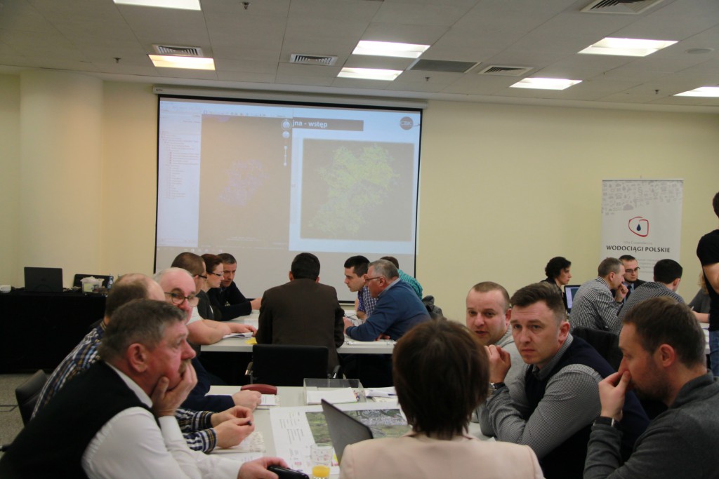
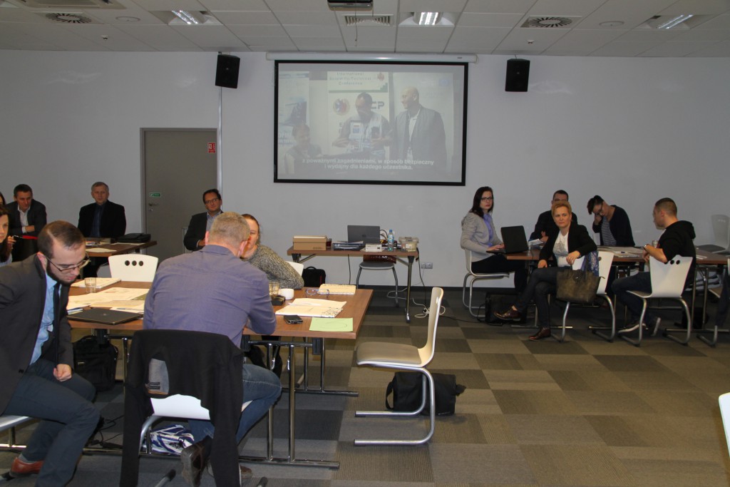
Simulation Game for Water Supply and Sewerage Companies in Warsaw
On 29-30 March 2017 the team of the Crisis Information Centre in cooperation with SEKA S.A., and on behalf of the Polish Chamber of Commerce of the Polish Water Supply Association organized a simulation game on security management in water supply and sewerage enterprises. The game, combined with the panel of lectures, took place in Warsaw.
07
March 2017
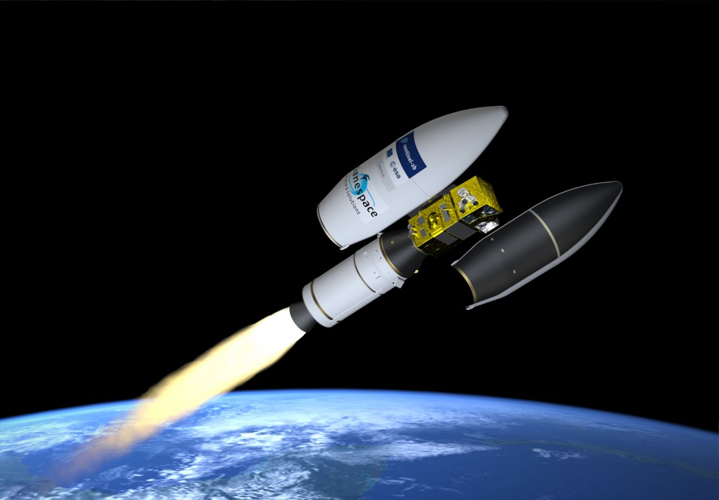
Sentinel-2B already in the orbit
Today’s night (2:49 CET) Sentinel-2B satellite, which is the twin brother of Sentinel-2A satellite, was launched from the spaceport in French Guiana.
07
March 2017
Simulation Game for Water Supply and Sewerage Companies in Wroclaw
On 01-02.03.2017 the team of the Crisis Information Center in cooperation with SEKA S.A., and on behalf of the Polish Chamber of Commerce of the Polish Water Supply Association organized a simulation game. The game, combined with the panel of lectures, took place in Wroclaw and was concerning the topic of safety management in water supply and sewerage enterprises.
«
1
2
3
4
5
6
7
8
9
10
11
12
»
Ten serwis wykorzystuje pliki cookies.
Korzystanie z witryny oznacza zgodę na ich zapis lub odczyt wg ustawień przeglądarki.
Log in
The Address e-mail field is required.
The Address e-mail format is invalid.
The Password field is required.
The Password must be at least 7.
Forgot password?
Reset your password
The Address e-mail field is required.
The Address e-mail format is invalid.
Registration
The Name and last name field is required.
The Name and last name must be at least 7.
The Name and last name may not be greater than 50.
The Address e-mail field is required.
The Address e-mail format is invalid.
The Password field is required.
The Password must be at least 7.
Passwords dont match.