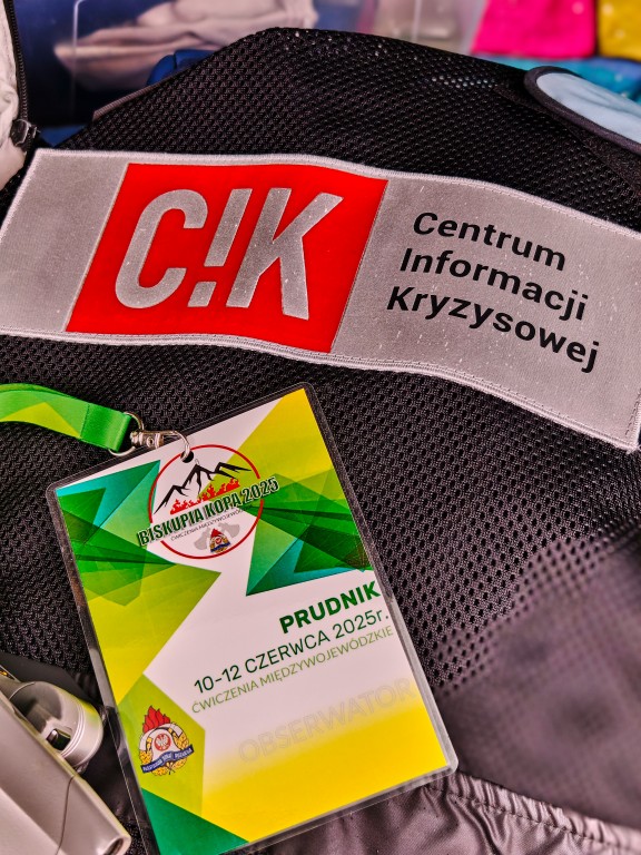
Participation of CIK CBK PAN in the “BISKUPIA KOPA 2025” Central Operational Reserve KSRG Exercise
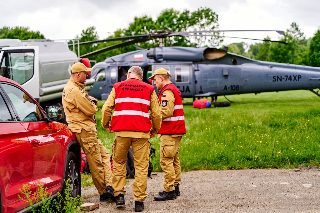
On June 11–12, the “BISKUPIA KOPA 2025” Central Operational Reserve KSRG Exercise took place in the vicinity of Prudnik. More than 400 firefighters from four provinces —Opolskie, Lower Silesia, Lubuskie, and Wielkopolskie—along with 110 vehicles, 4 helicopters, a firefighting aircraft, and 4 drone teams took part in operations in challenging mountainous terrain. Activities included extinguishing a simulated large-scale forest fire, searching for missing tourists, responding to a road traffic accident, and rescuing an injured climber stranded on a rocky ledge. This „inter-provincial” exercise is the largest kind of regular trainings organized by the State Fire Service.
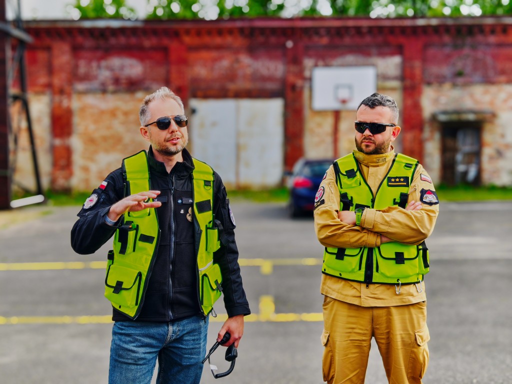
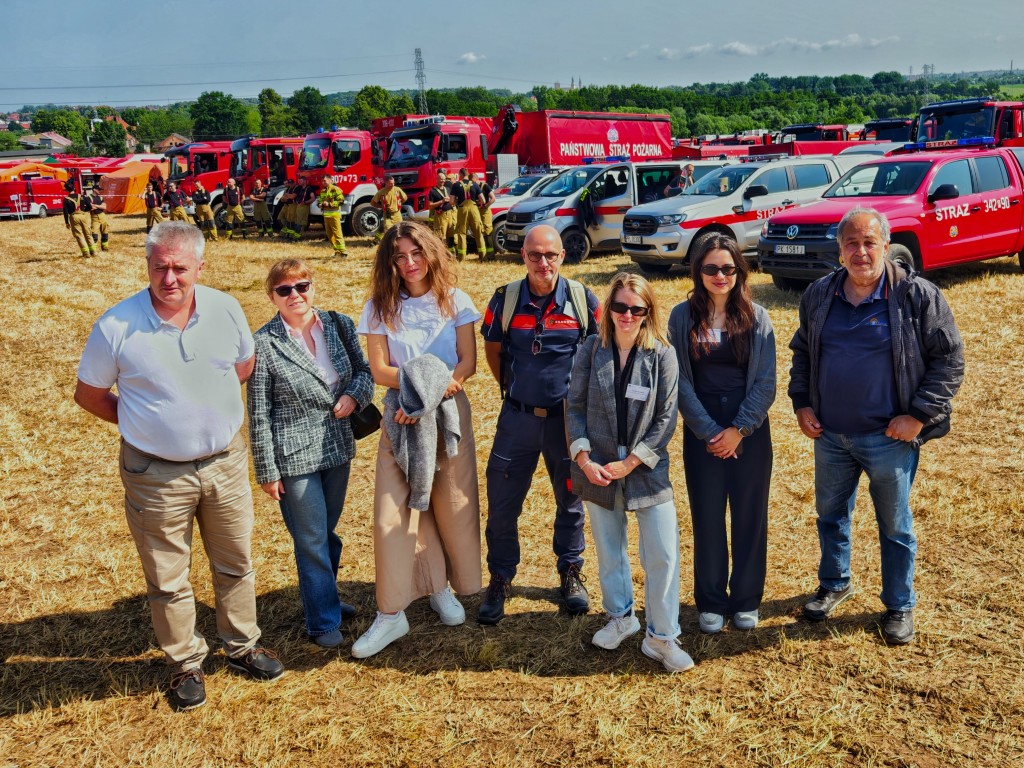
The exercises were held in the Prudnik and Nysa counties, which had been heavily impacted by the flood in September 2024. In addition to firefighters from the four voivodeships, the operations involved the Police, State Forests, Air Ambulance Service, Border Guard, the Medical Rescue Center in Opole, Polish Power Grid Company (Polskie Sieci Elektroenergetyczne), and medical students from the University of Opole acting as role-play casualties.
The exercise scenario was based on a simulation of a large-scale forest fire in the mountains. Due to drought, difficult weather conditions, and challenging terrain, extinguishing the fire required pumping water over long distances and elevations, as well as the use of helicopters and firefighting aircraft for water drops. In addition to the "classic" firefighting operation, the situation was complicated by additional incidents: illegal car races by young people on a mountain road, during which two vehicles veered off the route and slid down a slope; the evacuation of an injured climber from a rocky ledge; and the search for people lost in the mountain forest. Such a complex scenario required cooperation and coordination of many services on the Polish side, and due to the simulated fire's location near the Czech border, also collaboration with the Czech fire service.
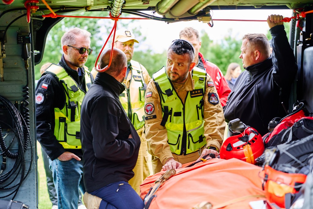
The exercise included a substantial aerial and drone component. A police S-70i Black Hawk helicopter supported the operations of the State Fire Service by performing water drops using a Bambi Bucket and practicing the evacuation of rescuers. Firefighting flights were also carried out by a helicopter and an aircraft from the State Forests, as well as a helicopter from the Polish Power Grid Company (reconnaissance missions). The Air Ambulance Service (Lotnicze Pogotowie Ratunkowe) carried out the evacuation of individuals injured in the car accident.
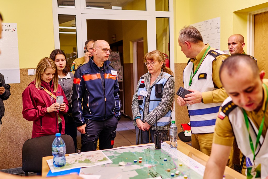
The situation was continuously monitored by four drone teams from various units, transmitting live video streams to the command center. The safe and effective execution of aerial and drone operations was ensured by a specially designated Air Operations Coordinator, responsible for coordination between manned aircraft pilots and drone operators, including maintaining both horizontal and vertical airspace separation.
The exercise provided further proof that aerial operations management systems, as well as rapid drone data processing and analysis tools, significantly enhance the effectiveness of rescue operations. However, their broader implementation requires specialized training for both analytical teams in command centers and field operation commanders.
As part of the COLLARIS Trial, which was synchronized with the exercises, two drone positioning monitoring systems were tested for use in scenarios without GSM connectivity. These systems were based on LoRa and LoRaWAN signals. Both solutions proved to be promising and relatively low-cost “stop-gap” tools for tracking drones until a fully integrated system approach is implemented.
Also presented was the AIDERS system, developed under a European project coordinated by KIOS. As an IoT-powered solution, AIDERS offers both standalone tools for intelligent UAV-based data collection and processing, as well as advanced ground control tools for enhanced data analytics and visualization. The toolkit includes robust command-and-control capabilities for managing UAV teams across a range of missions, such as aerial data collection, search and rescue, and area monitoring.
The last tested component was the Galileo Emergency Warning Satellite Service (EWSS). According to European Commission plans, this service will allow authorized users from EU Member States to quickly designate threat-affected areas and send short, pre-defined warning messages via satellite to all GNSS receivers, especially mobile phones, located in those areas. These messages will provide information about the nature of the threat and recommended actions. This solution is particularly effective in GSM-dead zones but works best outdoors—where the satellite signal can be received without interference.
Participants in the COLLARIS Trial included representatives from project partners in Cyprus, Greece, France, Austria, and the Netherlands. They had the opportunity to familiarize themselves with Polish methods of air operations coordination and mechanisms for cooperation between various emergency services and compare them with their own national systems. They also established direct contacts and exchanged information with exercise participants, while observing the tests and outcomes of the validated technical and procedural solutions.