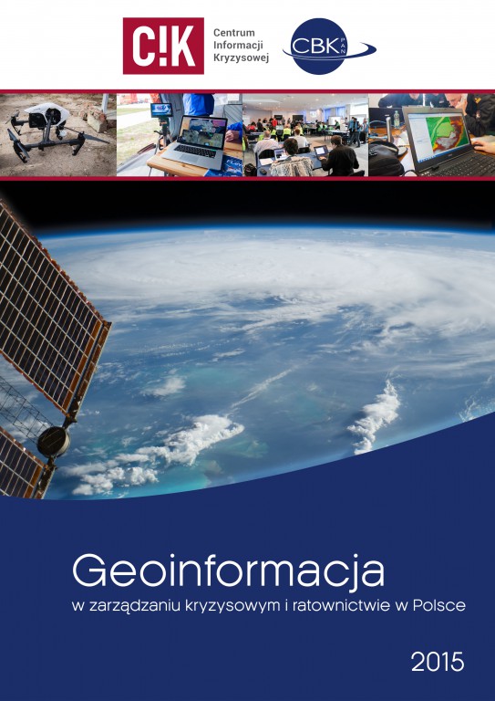
„Geoinformation in crisis and rescue management in Poland”
"Geoinformation in crisis and rescue management in Poland" is first article in Poland about using geoinformation by crisis management entities in Poland. The article was created in second half of 2015. Purpose of the article was to systemize knowledge about current usage of geoinformation in crisis management and rescue in Poland, create comprehensible document that gathers information and knowledge about geoinformation for crisis management and rescue entities and to review modern solutions in geoinformation that are currently in use of crisis management and rescue.
The article consists of three main parts. First chapter presents theoretical issues that are related with geoinformation and remote sensing in crisis management and rescue. In the next part of the article there are presented different sources for satellite data that can be used in crisis management and rescue. Third chapter is a review of geoinformation technologies that are currently used in crisis management in Poland. Review was preceded by conducting a survey among members of crisis management and rescue process. The outcome of this survey was information about current usage of geoinformation in crisis management in Poland. Thanks to that in article were shown examples of good practices in usage of geoinformation in crisis management and rescue in Poland. There is also a review of local geoportals in the view of storage of geospatial information that are related with crisis management and presentation of examples of some good practices in this field. There are also presented most interesting solutions of mobile applications that support crisis management participants and provide information to the inhabitants.


