Two years of the Mobile Centre for Satellite Data Analysis and Development
For their needs, MCS:
- processed over 856 GB of data;
- developed 343 information products;
- participated in 23 activations at the request of users from the public safety sector (State Fore Service, Police, Provincional Inspection of Environmental Protection, Security and Crisis Management Departments, and Provincial Offices) - including 13 activations for operational support and planning processes, 7 activations for exercise and simulation support, and 3 remote activations;
- conducted 12 training sessions.
The CBK PAN as a member of the consortium of the project "The operating system for collecting, sharing and promotion of digital satellite information about the environment - Sat4Envi", focused its tasks on the establishment of the MSC, creation of the Mobile Support Team, preparation and implementation of the training program, and conducting support for users of the Customer Service System (SOK). The wide range of tasks carried out was particularly focused on the needs of the project's recipients, especially from the security sector units, including entities competent in matters of crisis management, rescue and civil protection, non-governmental organisations and other entities performing tasks for public safety.
Effective support for activities carried out in crisis management and rescue, among other things, using digital satellite data, does not depend only on the equipment, software or data at hand, but also on the level of understanding of the needs and mechanisms of operation of services and institutions from the public security sector. From the perspective of getting to know the needs and working out the principles of cooperation, participation in exercises and simulations organised by the aforementioned entities is particularly important.
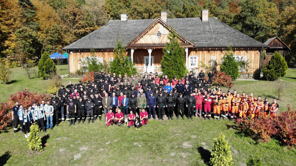
Participation of CBK PAN in the events as an active participant in the simulation of conditions in crisis situations (e.g. flood, CBRNe threat) has allowed in-depth knowledge and given a solid foundation for conducting dialogue on ongoing coopration and support for future real activities. Activities carries out by CBK PAN specialists at the site of exercises and simulations included, among others, the use of unmanned aerial vhicles during and after rescue operations.
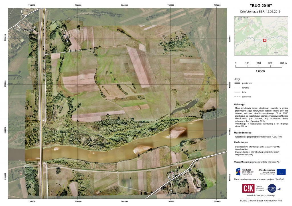
Since the beginnning of the project, CBK PAN specialists have spent more than 1,255 h (69% of the hours spent in the delegation) on jointly developing the basis for cooperation with emergency management services and institutions during operational activities. Their quantifiable effect is the number of generated specialized products based on satellite data processing. Examples of products of particular relevance to services and institutions are 3D models of the terrain and video footage generated during the use of unmanned aerial vehicles due to the documentary value of ongoing operations.
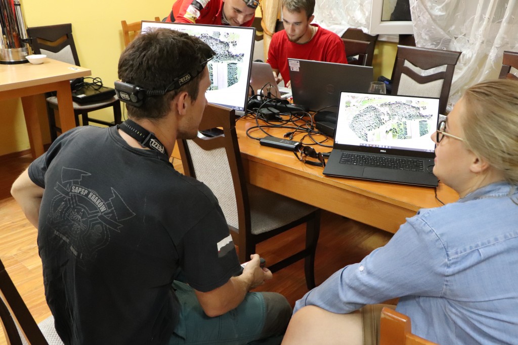
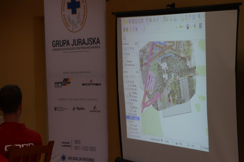
Joint experience during exercises and simulations, as well as activations in the field of operational support, made it possible to identify and develop a training program adequate to the level of knowledge possessed by the users, and to determine the directions of the desired development of competence in the use of satellite data and the capabilitties and functionality of unmanned aerial vehicles in emergency management and rescue. The training program implamented by the CBK PAN allows the individual needs of national, provincial and local level recipients to be taken into account. Twelve training sessions were conducted, covering the basics of satellite remote sensing, operational capabilities and functionalities of MCS, as well as processing data in geoinformation systems, on request of:
- Provincial Headquarters of the State Fire Service in Katowice for officers of poviat commands,
- Ministry of Environment for subordinate and cooperating units,
- the Chief Inspectorate of Environmental Protection for inspectors,
- Jurassic Group of the Mountain Volunteer Search and Rescue.
The Mobile Center for Satellite Data Analysis and Development (MCS) was implemented as part of the project "The operating system for collecting, sharing and promotion of digital satellite information about the environment - Sat4Envi".